At the Kenya Ports Authority, we are the dynamic heart of trade and commerce for Kenya and the East and Central Africa, connecting the region to global markets. We understand that the movement of goods by sea is more than just logistics, it's the vital current that powers economic growth, connects communities, and creates opportunity.

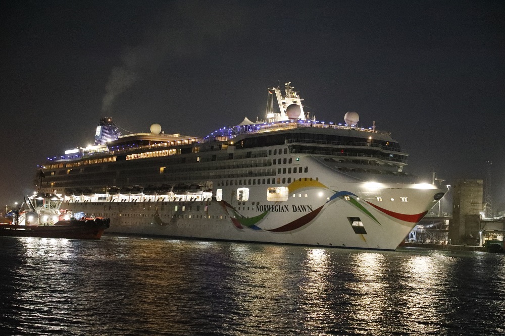
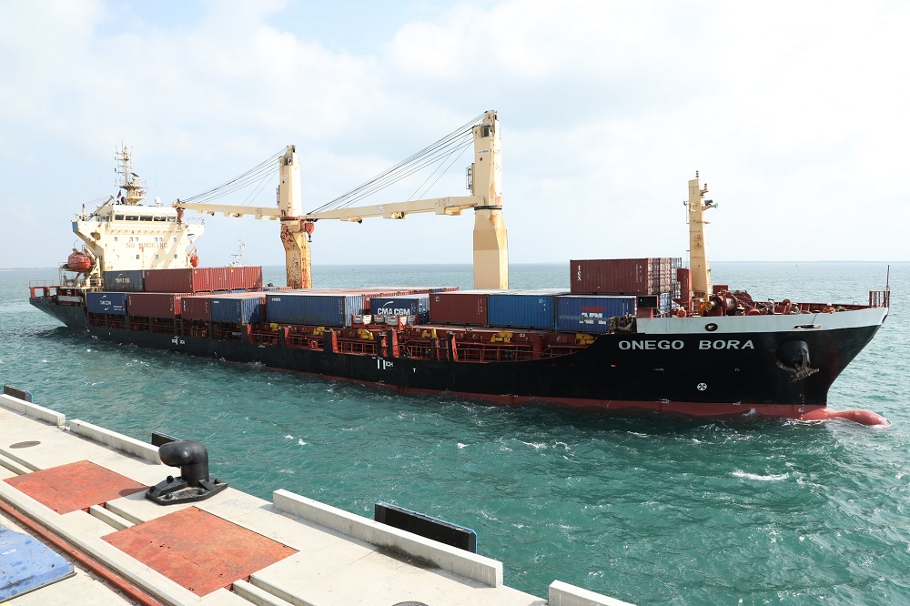
Our flagship facility, the Port of Mombasa is strategically located and stands as a beacon of efficiency and connectivity. Consistently ranked among the top container ports in Africa, it serves as a critical nexus between global markets and a rapidly expanding region. With over 40 major shipping lines calling at our port and direct links to more than 80 ports worldwide, we ensure that trade flows seamlessly and reliably.
In an ever-evolving global maritime industry, we are driven by innovation and investment. KPA has made significant, strategic investments to modernize our infrastructure, expand our capacity, and adopt cutting-edge technology. This unwavering commitment ensures we not only meet the growing demands of today but are also prepared to harness the opportunities of tomorrow, maintaining our competitive edge.
Our success is powered by our human resource. KPA is steered by a team of visionary leaders whose combined expertise spans maritime operations, logistics, finance, and technology. This diverse experience allows us to successfully navigate the complexities of 21st-century shipping and deliver world-class port services.
We are more than just a port authority; we are your trusted partner in progress, dedicated to fuelling prosperity for our region and the global market.
Marine information
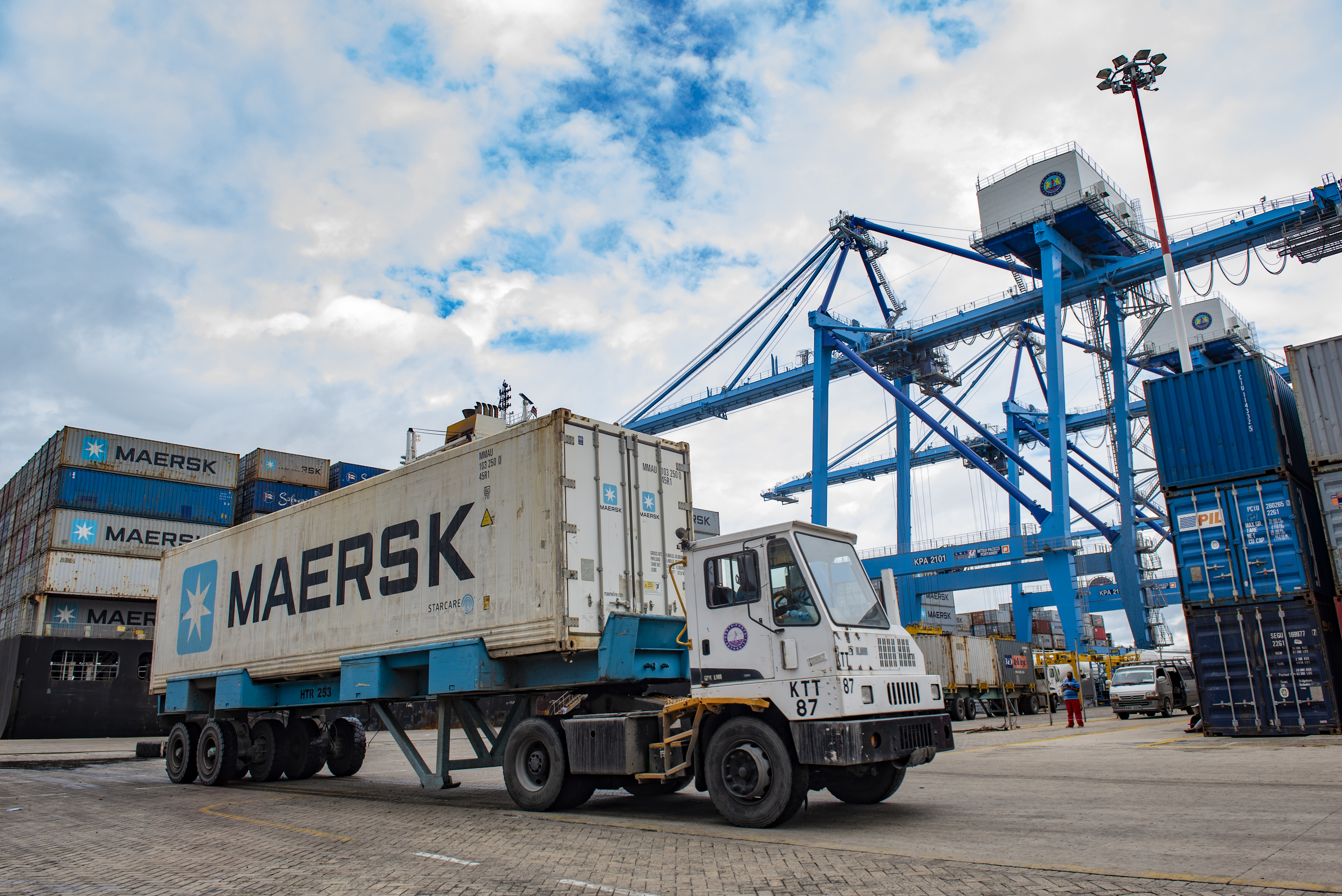
We offer a range of marine, cargo handling and logistics services with the aim of moving your cargo seamlessly and efficiently across the region and to the world.
Tidal Information
The Port of Mombasa is situated along Latitudes 4°03ʹS – Longitudes 39° 39ʹE - East African Coast. The Port Tidal range is as follows
- Highest Astronomical Tide- HAT 4.1m
- Lowest Astronomical Tide - LAT 0.1m
- Mean High Water Springs- MHWS 3.5m
- Mean Sea Level- MSL 1.88m
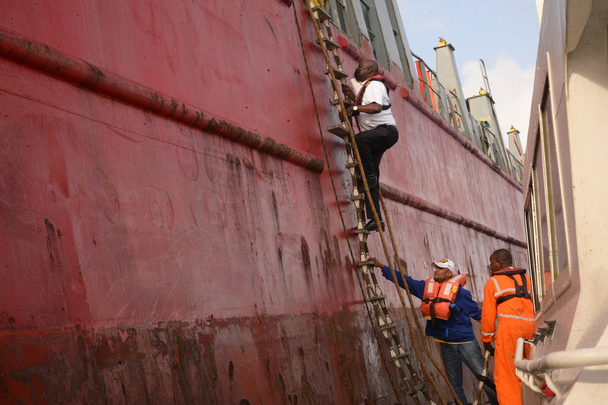
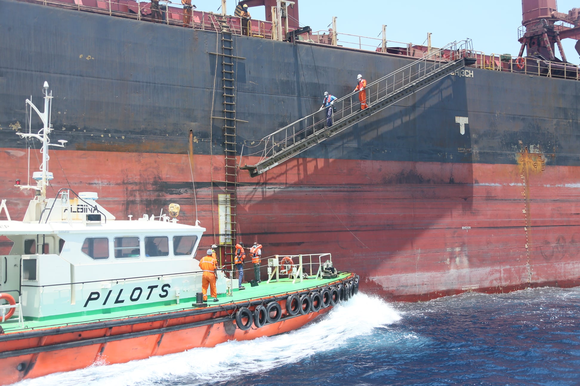
Pilotage
The Ports of Mombasa and Lamu offers pilotage services which is compulsory for all vessels. Vessels calling the Ports have to be piloted through the channels to the Port unless exempted by management. The Ports are served by four pilot boats available round the clock.
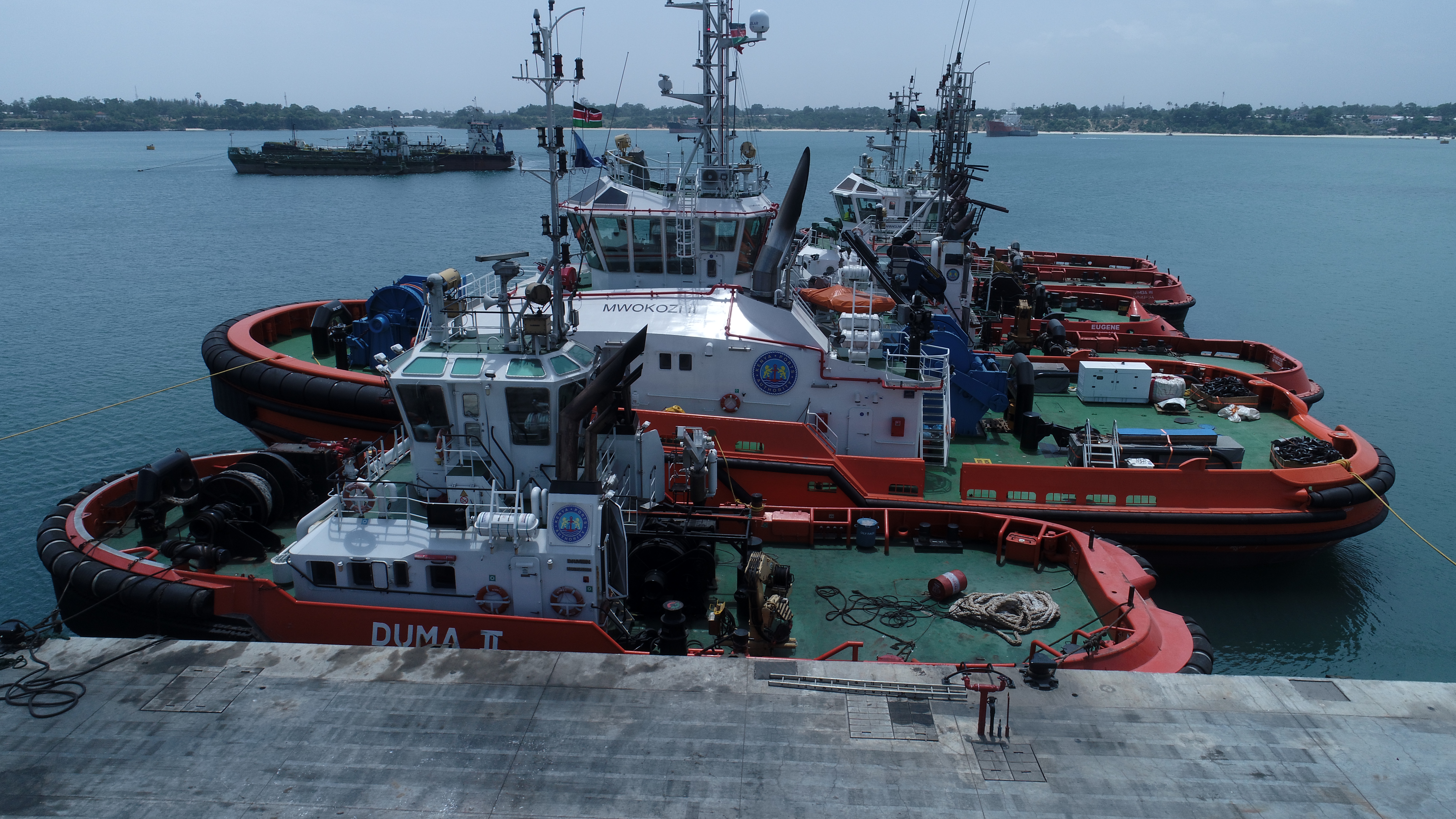
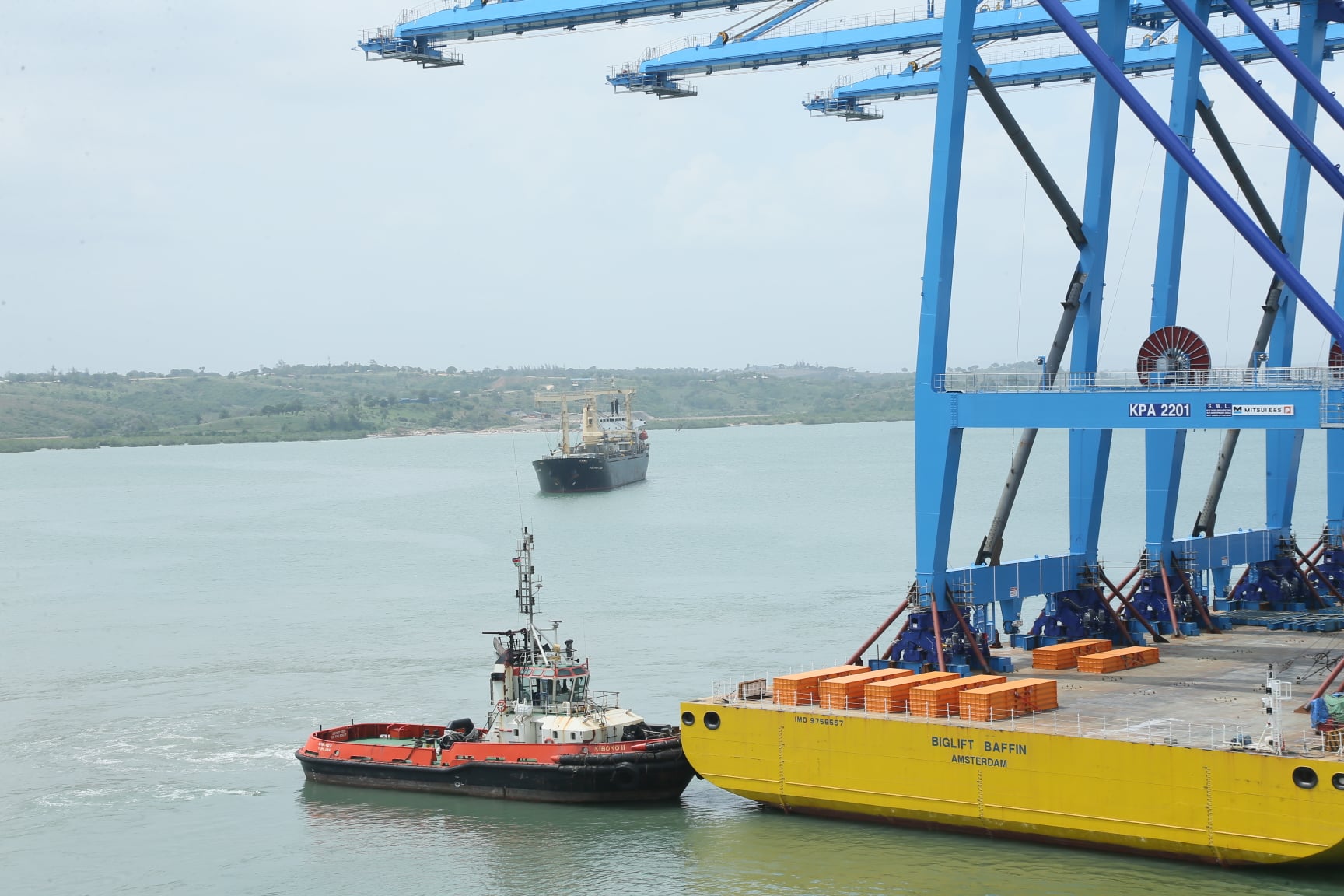
Tuggage
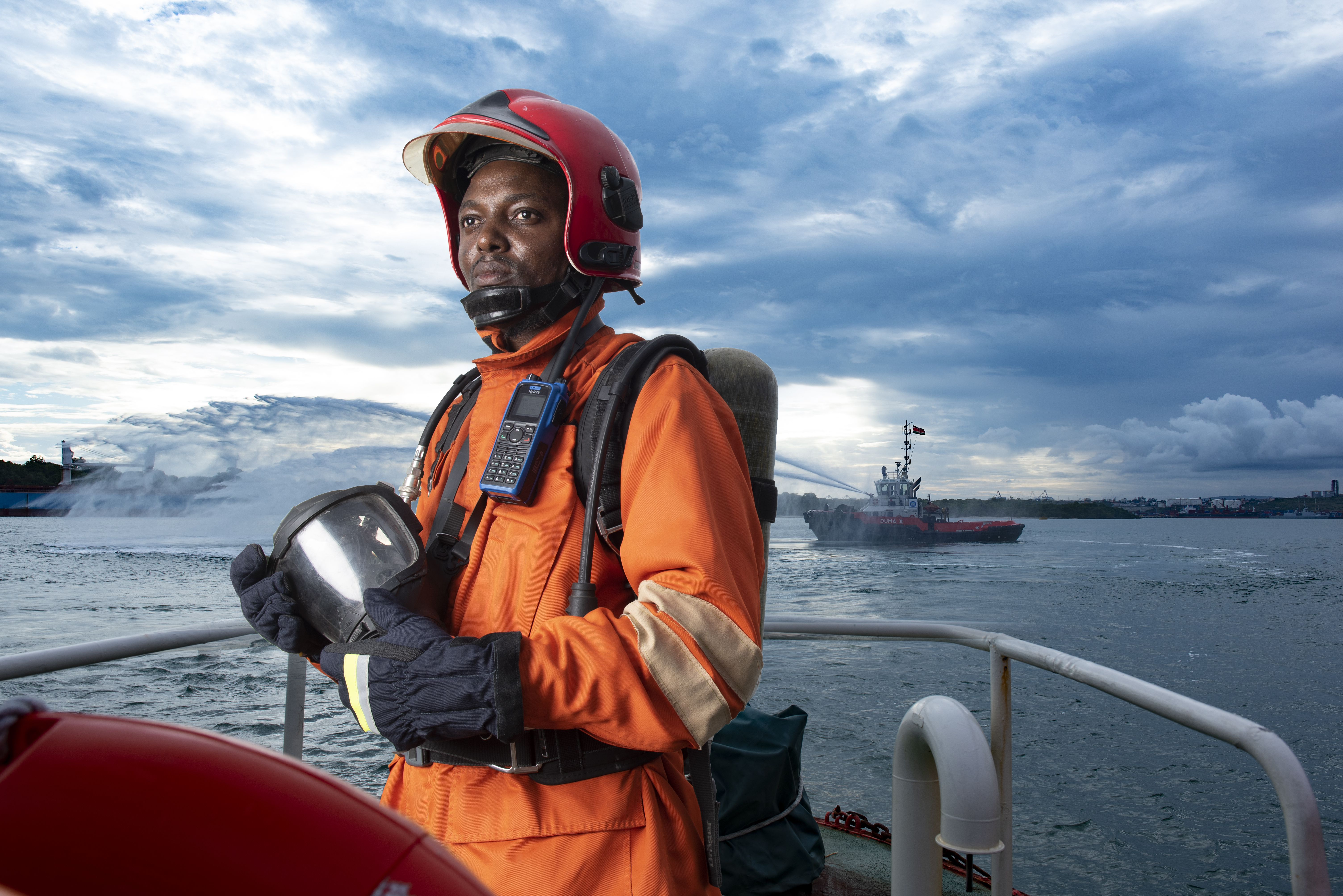
The use of tugs and mooring boats is compulsory for all vessels calling the Port of Mombasa and Lamu. With a fleet of six high powered tug boats, we are always on call and ready to offer tuggage services to inbound and outbound vessels. KPA also offers salvage services with the latest acquisition of 120 tonnes bollard pull salvage tug; a modern high performance Azimurth Stern Driven tug that can offer salvage operations in the high seas, Port areas and anywhere around the world.
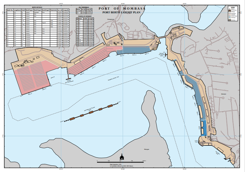
BERTH NUMBERING AT PORT OF MOMBASA
| BERTH NO | DESCRIPTION OF BERTH | TOTAL LENGTH (M) | QUAY LEVEL ABOVE CD | APRON DEPTH (M) | ALLOWABLE DRAFT | BOLLARD NUMBER | RESTRICTION | DIR DEGREE |
|---|---|---|---|---|---|---|---|---|
| 1 | Cruise/RORO/General Cargo | 333.0 | 5.486 | 17.50 | 10.0 | 2-14 | - | 177-357 |
| 3 | Grain Bulk/General Cargo | 237.0 | 5.486 | 17.50 | 10.0 | 24.34 | - | 1164-344 |
| 4 | Grain Bulk/General Cargo | 213.0 | 5.486 | - | 10.0 | 34-38 | - | 164-344 |
| 5 | Bulk/General Cargo | 111.0 | 5.486 | 20.42 | 9.75 | 39-49 | Tidal | 122-302 |
| 7 | General Cargo/Bulk Crude Palm Oil/Bulk Vegetable Oil | 211.0 | 5.486 | 20.42 | 10.0 | 49-53 | Tidal | 161-341 |
| 8 | Bulk/General Cargo | 139.0 | 5.486 | 20.42 | 11.0 | 53-63 | Tidal | 154-334 |
| 9 | Bulk/General Cargo | 215.0 | 5.486 | 20.42 | 10.0 | 63-72 | Tidal | 154-344 |
| 10 | Multi-Purpose | 187.5 | 5.486 | - | 10.0 | 75-85 | - | 077-257 |
| 11 | Coasters | 216.0 | 5.486 | - | 10.0 | 85-92 | - | 090-270 |
| 13 | Multi-Purpose | 292.0 | 5.486 | - | 10.0 | 92-103 | - | 090-270 |
| 14 | Multi-Purpose | 240.0 | 5.486 | - | 10.0 | 103-114 | - | 081-261 |
| 16 | Container | 250.0 | 5.486 | - | 12.5 | 118-131 | - | 060-240 |
| 17 | Container | 252.0 | 5.486 | - | 12.5 | 131-145 | - | 060-240 |
| 18 | Container | 337.0 | 5.486 | - | 12.5 | 145-160 | - | 060-240 |
| 20 | Container | 220.0 | 5.5 | - | 10.0 | 162-170 | - | 160-340 |
| 21 | Container | 350.0 | 5.5 | - | 14.5 | 171-183 | - | 072-252 |
| 22 | Container | 300.0 | 5.5 | - | 14.5 | 183-196 | - | 072-252 |
SPECIAL BERTHS
| DESCRIPTION OF BERTH | TOTAL LENGTH (M) | QUAY LEVEL ABOVE CD | DWT | ALLOWABLE DRAFT (M) | BOLLARD NUMBER | RESTRICTION | DIR DEGREE |
|---|---|---|---|---|---|---|---|
| Mbaraki Multi-Purpose | 306.3 | 4.486 | - | 10.5 | 1-14 | - | 143-323 |
| Base Titanium Bulk Cargo | 189.0 | 5.486 | 66,000 | 12.5 | 1-4 | Tidal | 140-320 |
| Shimanzi Oil Terminal | 198.0 | 5.486 | 35,000 | 9.75 | 1-5 | Tidal | 000-180 |
| Kipevu Oil Terminal I | 259.0 | 5.1 | 85,000 | 13.25 | 1-3 | - | 070-250 |
| Kipevu Oil Terminal II (Berth 1) | 300.0 | 5.1 | 120,000 | 14.5 | Q/R 1-6 | - | 072-252 |
| Kipevu Oil Terminal II (Berth 2) | 300.0 | 5.1 | 120,000 | 14.5 | Q/R 1-6 | - | 072-252 |
| Kipevu Oil Terminal II (Berth 3) | 300.0 | 5.1 | 120,000 | 14.5 | Q/R 1-6 | - | 072-252 |
| AGOL Gas Terminal | 225.0 | - | 25,000 | 9.0 | Dolphins | Tidal | 072-252 |
ANCHORAGES AT PORT OF MOMBASA
| DESCRIPTION OF ANCHORAGE LOCATION | LATITUDE | LONGITUDE | DEPTH AVAILABLE (M) | SWING CIRCLE (M) | MAX. SIZE OF SHIP (M) |
|---|---|---|---|---|---|
| Kilo | 04°03'.22 S | 039°38'.60 E | 12.50 | 304 | 290 |
| Siera | 04°03'.20 S | 039°36'.90 E | 15.40 | 244 | 210 |
| Uniform | 04°03'.70 S | 039°36'.43 E | 7.60 | 244 | 161 |
MOORING BUOYS AT PORT OF MOMBASA
| NAME | TOTAL LENGTH (M) | ALLOWABLE DRAFT (M) |
|---|---|---|
| K1 | 167.6 | 270.0 |
| K2 | 213.3 | 240.0 |
| M1 | 231.0 | 16.80 |
| M2 | 297.0 | 17.90 |
| M3 | 288.0 | 15.50 |
| M4 | 314.0 | 15.00 |
PORT OF MOMBASA - BERTH LAYOUT